
 Edit this map

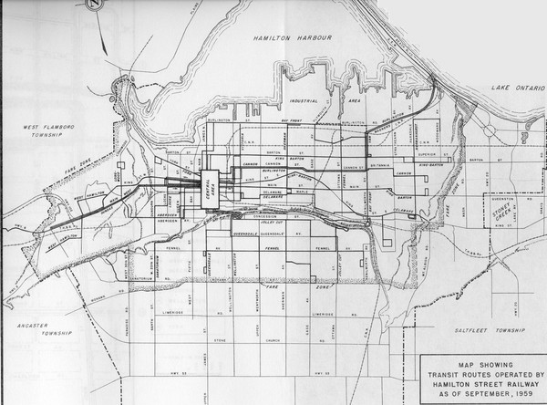
1959 Transit Routes of Hamilton Harbor Map
near Hamilton Harbor, Ontario Canada
View Location
Tweet
See an error? Report it.
Keywords
history, bus, transportation, routes, public, transport, historical, historical bus routes, historical transportation maps
 See more

Nearby Maps
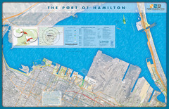
Port of Hamilton Map
Shows piers and tenants of Port of Hamilton, Ontario
1 mile away
Near Hamilton, Ontario
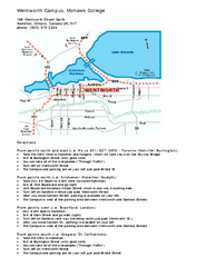
Mohawk College - Wentworth Campus Map
Mohawk College - Wentworth Campus Map. All buildings shown.
3 miles away
Near North Hamilton, Ontario, Canada L8L 5V7
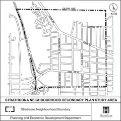
Strathcona Neighbourhood Map
3 miles away
Near Hamilton, ON Canada
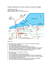
Mohawk College - Fennell Campus Student Residence...
Mohawk College - Fennell Campus Student Residence Halls Map Plan. All buildings shown.
4 miles away
Near 245 Fennell Ave. West Hamilton, Ontario, Canada...
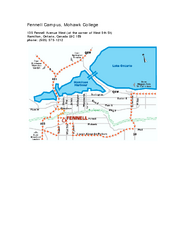
Mohawk College - Fennell Campus Map
Campus Map of Mohawk College of Applied Arts & Technology. Fennell Campus Map Shown.
4 miles away
Near 135 Fennell Avenue West Hamilton, Ontario...

 See more


 Explore Maps
 Map Directory
 click for
 Fullsize


0 Comments
New comments have been temporarily disabled.