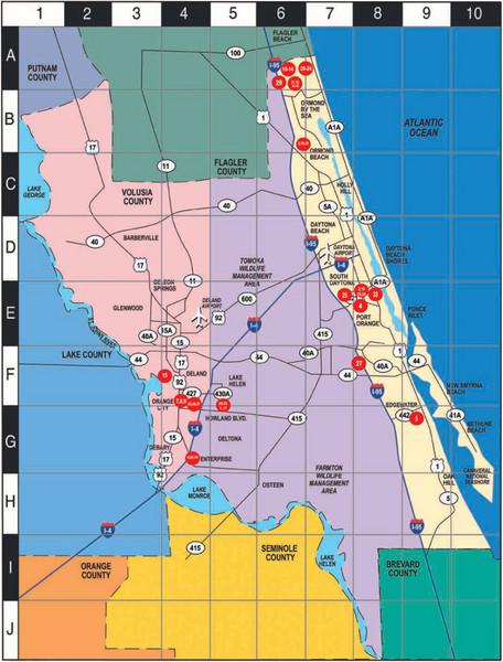
Western Florida County Map
near Volusia
See more

 See more
Nearby Maps

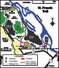
St. Francis Trail Map
The trail is located in Volusia county, about a mile from Deland. It is about an hour from Ocala.
0 miles away
Near Volusia County, FL, USA

MOAS Museum Map
12 miles away
Near 352 S Nova Rd, Daytona Beach

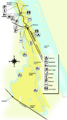
Tomoka State Park Map
Map of park with detail of recreation zones
21 miles away
Near 2099 North Beach Street, Ormond Beach, Florida

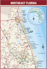
Northeast Florida Road map
A complete road map of the Northeast section of the state of Florida.
24 miles away
Near Bunnell, Florida

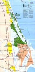
Canaveral National Seashore Map
25 miles away
Near Canaveral National Seashore

 click for
 Fullsize


0 Comments
New comments have been temporarily disabled.