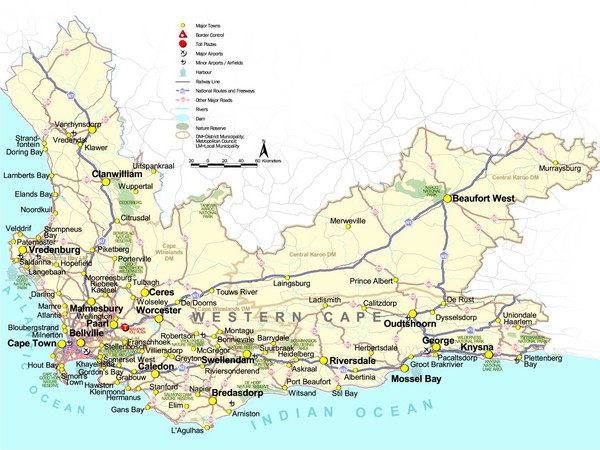
Western Cape Tourist Map
near Western Cape, South Africa
View Location
Map of Western Cape, South Africa showing cities, major roads, parks, airports and border controls.
See more
 See more
Nearby Maps

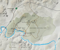
Bontebok National Park Map
53 miles away
Near Bontebok National Park

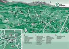
Wellington Tourist Map
Shows major streets and points of interest for eating, wine, and brandy.
85 miles away
Near Wellington, South Africa

Cape Town Things to see and do Map
Lots of details and info on our beautiful city. What to see, do and where to eat. Lot's of...
87 miles away

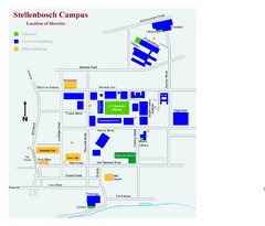
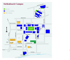
Stellenbosch Campus Map
Map of Stellenbosch University campus
100 miles away
Near Stellenbosch, South Africa

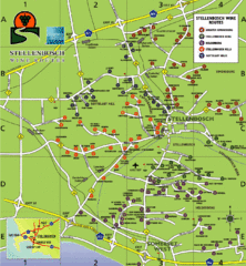
Stellenbosch Wine Route Map
Map of Stellenbosch showing routes to take to tour the wineries. 5 wine routes identified.
100 miles away
Near Stellenbosch, South Africa

Stellenbosch Campus Map
Visitor's map of Stellenbosch Campus including all buildings and roads color-coded.
100 miles away
Near Stellenbosch, South Africa

 click for
 Fullsize


0 Comments
New comments have been temporarily disabled.