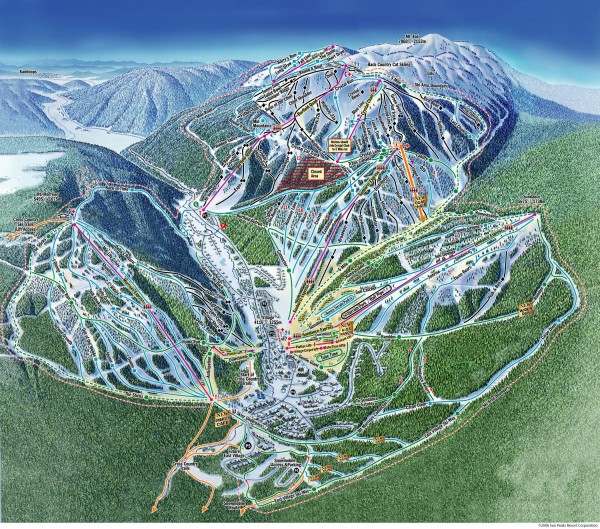
Sun Peaks Ski Trail Map
near 1280 Alpine Road, Sun Peaks, British Columbia, Canada
See more
 See more
Nearby Maps

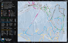
Sun Peaks Resort Nordic Ski Trail Map
Trail map from Sun Peaks Resort, which provides downhill, nordic, and terrain park skiing. This ski...
1 mile away

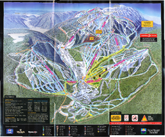
Sun Peaks Resort Ski Trail Map
Trail map from Sun Peaks Resort, which provides downhill, nordic, and terrain park skiing. This ski...
1 mile away

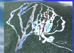
2004–09 Harper Mountain Map
Trail map from Harper Mountain, which provides downhill and nordic skiing. This ski area has its...
16 miles away
Near British Columbia, Canada

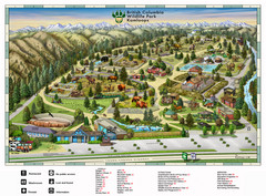
British Columbia Wildlife Park Visitor Map
Wildlife Visitor Park Map. Full color with illustrations.
19 miles away
Near 9077 Dallas Drive Kamloops, BC, Canada

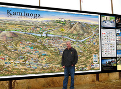
Kamloops tourist info map by Jean-Louis Rheault
Tourist map of Kamloops, British Columbia. Photo of 20 foot sign with the cartographer, Jean-Louis...
24 miles away
Near Kamloops British Columbia

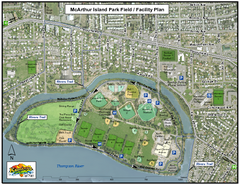
MacArthur Island Park Map
Park map of MacArthur Island Park in the Thompson River in Kamloops, BC. Shows Rivers Trail...
25 miles away
Near Kamloops, BC

 click for
 Fullsize


0 Comments
New comments have been temporarily disabled.