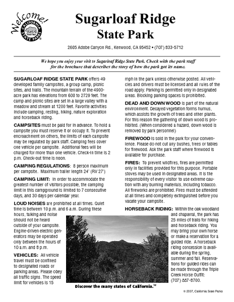
Sugarloaf Ridge State Park Campground Map
near 2605 Adobe Canyon Rd, Kenwood, CA
See more
 See more
Nearby Maps

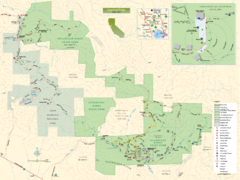
Sugarloaf Ridge State Park Map
Trail map of Sugarloaf Ridge State Park
2 miles away
Near Sugarloaf Ridge State Park, California

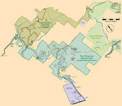
Hood Mountain Regional Park Map and Sugarloaf...
Park map of Hood Mountain Regional Park and Open Space Preserve and Sugarloaf Ridge State Park in...
2 miles away
Near Hood Mountain Regional Park, California

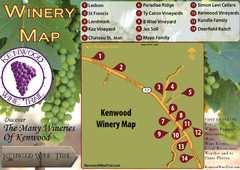
Kenwood Wine Tasting Map
3 miles away
Near Kenwood ca

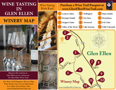
Glen Ellen Wine Tasting Map
6 miles away
Near Glen Ellen Ca

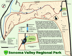
Sonoma Valley Regional Park Map
Trail map of 202 acre Sonoma Valley Regional Park.
6 miles away
Near Sonoma, CA

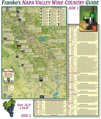
Napa Valley Wine Country Guide Map
Map of the Napa Valley Wine Country. With over 250 local Wineries listed. Printed on waterproof...
6 miles away
Near Napa Valley, Ca

 click for
 Fullsize

0 Comments
New comments have been temporarily disabled.