
 Edit this map

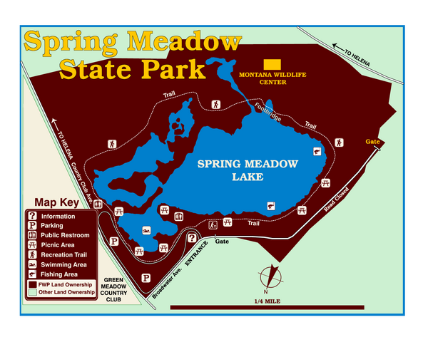
Spring Meadow Lake State Park Map
near Spring Meadow Lake State Park, MT, USA
View Location
This urban, day-use-only park minutes from Helena fed by natural springs, is a popular spot for family afternoons of swimming, sunbathing, scuba diving, fishing, birdwatching, and pure play. When you tire of the beach, walk the park’s easy nature trail that circles the lake, home to a wide variety of birds and other wildlife. In winter, you can still stroll along the trail and, if it’s cold enough, ice-skate on the lake.

 See more

Nearby Maps
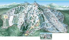
Great Divide Ski Area Ski Trail Map
Trail map from Great Divide Ski Area.
5 miles away
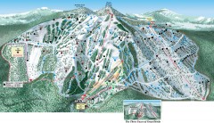
Great Divide Ski Trail Map
Official ski trail map of Great Divide ski area from the 2007-2008 season.
5 miles away
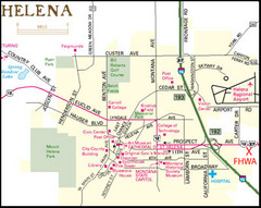
Helena, Montana City Map
13 miles away
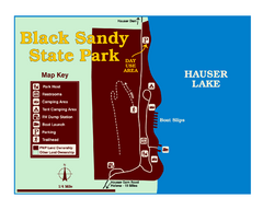
Black Sandy State Park Map
Simple but clear map of State Park.
17 miles away
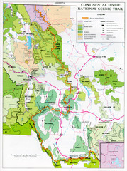
Continental Divide Scenic Trail Map
Guide to the Montana portion of the Continental Divide trail
49 miles away
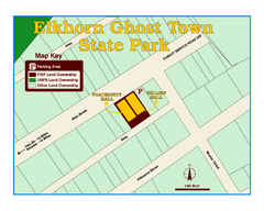
Elkhorn Ghost Town State Park Map
Clearly marked map of old 1880's ghost town with impressive structures.
49 miles away

 See more


 Explore Maps
 Map Directory
 click for
 Fullsize

0 Comments
New comments have been temporarily disabled.