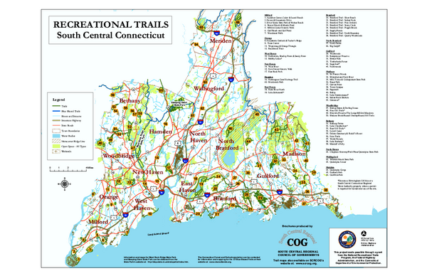
South Central Connecticut Recreational Trail Map
near Hamden, Connecticut
See more


 See more
Nearby Maps

Yale University Campus North Map
Yale University Campus Map - North Campus, including School of Forestry & Environmental Studies...
3 miles away
Near Prospect Street and Sachem Street

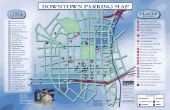
Downtown New Haven Parking Map
Shows locations of all town parking lots and also points of interest
3 miles away
Near New Haven, CT

Yale University Map
3 miles away
Near Yale College New Haven, CT

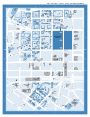
Yale University Campus South and Medical Center...
Yale University Campus South and Medical Center, including the Hewitt Quad, Cross Campus, Old Campus
4 miles away
Near york street and chapel street

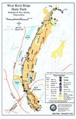
West Rock Ridge State Park map
Trail map of West Rock Ridge State Park in Connecticut.
4 miles away
Near hamden, ct

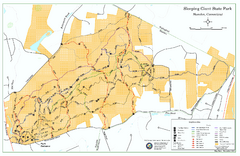
Sleeping Giant State Park map
Trail map for Sleeping Giant State Park in Connecticut.
5 miles away
Near hamden, ct

 click for
 Fullsize


0 Comments
New comments have been temporarily disabled.