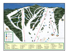
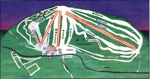
Ski Brule Ski Trail Map
near Iron River, Michigan, United States
See more
 See more
Nearby Maps

Pine Mountain Resort Ski Trail Map
Trail map from Pine Mountain Resort.
32 miles away
Near Iron Mountain, Michigan, United States

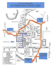
Crandon Snowmobile Trail Map
Snowmobile trail map of Crandon, Wisconsin on Lake Menlonga.
34 miles away
Near Crandon, Wisconsin

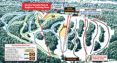
Norway Mountain Ski Trail Map
Trail map from Norway Mountain.
43 miles away
Near Vulcan, Michigan, United States

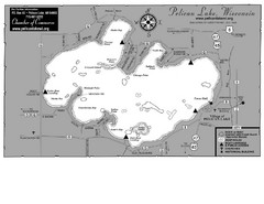
Pelican Lake Map
Lake map of Pelican Lake, Wisconsin. 3585 acres.
44 miles away
Near Pelican Lake, Wisconsin

Map of Armenia and Nagorny Karabakh
Map of Armenian states - the Republic of Armenia and the Nagorno-Karabakh Republic
44 miles away
Near Karabakh

 click for
 Fullsize

0 Comments
New comments have been temporarily disabled.