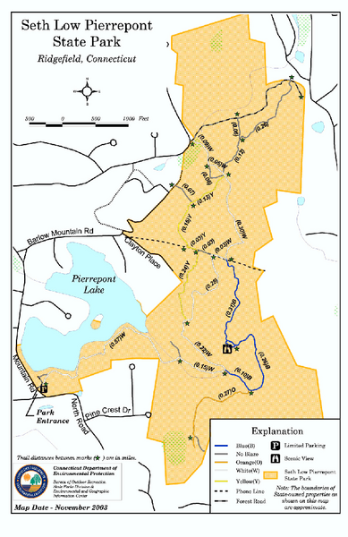
Seth Low Pierrepont State Park Reserve map
near ridgefield, ct
See more
 See more
Nearby Maps

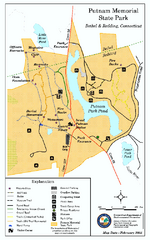
Putnam Memorial State Park map
Trail map for Putnal Memorial State Park in Connecticut,
6 miles away
Near bethel, ct

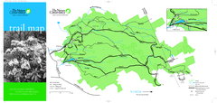
Devil's Den Preserve Map
7 miles away

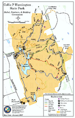
Collis P. Huntington State Park map
Trail map of Collis P. Huntington State Park in Connecticut
8 miles away
Near bethel, ct

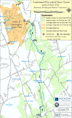
Centennial Watershed State Forest trail map
Trail map of Centennial Watershed State Forest in Connecticut
8 miles away
Near newtown, ct

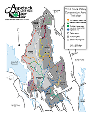
Trout Brook Valley Map
10 miles away

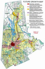
Danbury Regional Growth Map
Guide to future growth of Danbury, CT and surrounds
12 miles away
Near Danbury, CT, US

 click for
 Fullsize


0 Comments
New comments have been temporarily disabled.