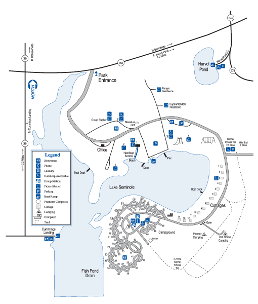
Seminole State Park Map
near Seminole State Park, GA
See more
 See more
Nearby Maps

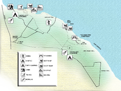
Three Rivers State Park Map
Map of park with detail of recreation zones
5 miles away
Near Sneads, Florida

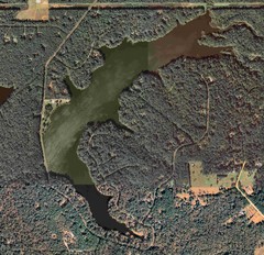
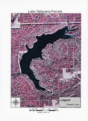
Lake Tallavana Map
Lake Tallavana aerial Map of the lake and surrounding areas.
28 miles away
Near Lake Tellavana, Florida

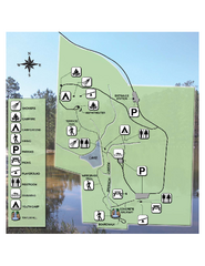
Falling Waters State Recreation Area Map
Map of park with detail of trails and recreation zones
39 miles away
Near 1130 State Park Road, Chipley, Florida

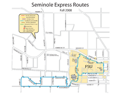
Seminole Express Bus Service Map
Bus route to Florida State University.
42 miles away
Near Florida State University

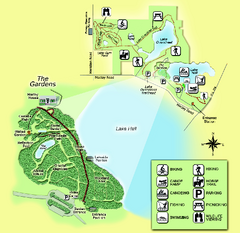
Alfred B. Maclay Gardens State Park Map
Map of park with detail of trails and recreation zones
42 miles away
Near 3540 Thomasville Road, Tallahassee, Florida

 click for
 Fullsize

0 Comments
New comments have been temporarily disabled.