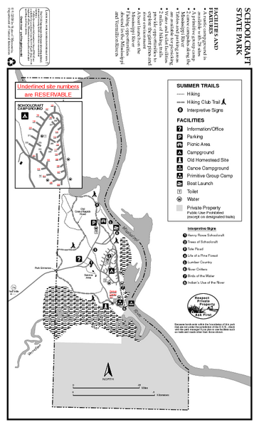
Schoolcraft State Park Map
near Schoolcraft State Park, MN
See more
 See more
Nearby Maps

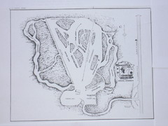
Lookout Mountain Lookout Mt Ski Trail Map
Trail map from Lookout Mountain. This ski area opened in 1958.
5 miles away
Near Minnesota, United States

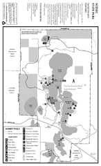
Scenic State Park Summer Map
Summer seasonal map of park with detail of trails and recreation zones
36 miles away
Near 56956 Scenic Highway 7, Bigfork, MN

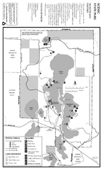
Scenic State Park Winter Map
Winter seasonal map of park with detail of trails and recreation zones
36 miles away
Near 56956 Scenic Highway 7, Bigfork, MN

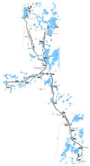
Paul Bunyan Trail Map
40 miles away
Near Paul Bunyan Trail, MN

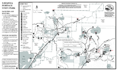
Savanna Portage State Park Summer Map
Summer seasonal map of park with detail of trails and recreation zones
41 miles away
Near 55626 Lake Place, McGregor, MN

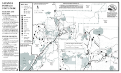
Savanna Portage State Park Winter Map
Winter seasonal map of park with detail of trails and recreation zones
41 miles away
Near 55626 Lake Place, McGregor, MN

 click for
 Fullsize

0 Comments
New comments have been temporarily disabled.