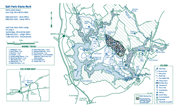
Salt Fork State Park map
near Lore City, Ohio 43755
See more

 See more
Nearby Maps

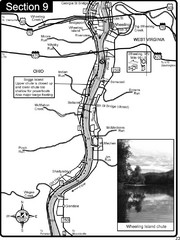
Ohio River at Wheeling, WV and 10 miles downriver...
This is a page from the Ohio River Guidebook. The map shows important information for boaters and...
41 miles away
Near Wheeling, WV

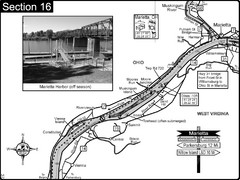
Ohio River at Marietta, OH and 8 miles downriver...
This is a page from the Ohio River Guidebook. The map shows important information for boaters and...
49 miles away

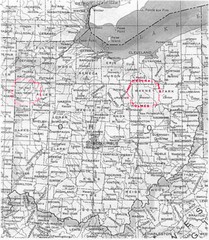
Ohio County Map
49 miles away
Near Ohio

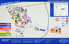
Kent State University Map
53 miles away
Near Kent State University

Mohican State Park map
Detailed recreation map for Mohican State Park in Ohio
53 miles away
Near Loudonville, Ohio 44842

Buckeye Lake State Park map
Detailed recreation map for the Buckeye Lake area in Ohio
55 miles away
Near Millersport, OH 43046

 click for
 Fullsize


0 Comments
New comments have been temporarily disabled.