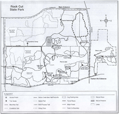
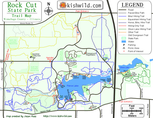
Rock Cut State Park Map
near Rockford, IL
View Location
Trail map of Rock Cut State Park in Winnebago County, Illinois.
Tweet
See an error? Report it.
Keywords
recreation, rockford, rock cut, rock cut state park, machesney park, loves park, illinois, state park, trails, winnebago county See more
 See more
Nearby Maps

Rock Cut State Park, Illinois Site Map
less than 1 mile away
Near Rock Cut State Park, Illinois

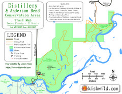
Distillery Conservation Area Map
Trail map of Distillery and Anderson Bend Conservation Areas in Boone County, IL.
8 miles away
Near Belvidere, IL

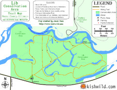
Lib Conservation Area Map
Trail map of Lib Conservation Area in Boone County, Illinois.
8 miles away
Near Belvidere, IL

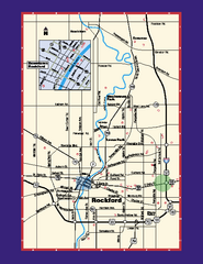
Rockford, Illinois Map
Tourist map of Rockford, Illinois. Museums, parks, hotels and other points of interest are shown.
8 miles away
Near Rockford, IL

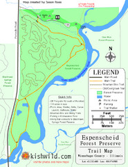
Espenscheid Forest Preserve Map
Trail map of Espenscheid Forest Preserve in Winnebago county, Illinois.
10 miles away
Near Rockford, IL

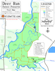
Deer Run Forest Preserve Map
Trail map of Deer Run Forest Preserve in Winnebago County, Illinois.
10 miles away
Near Rockford, IL

 click for
 Fullsize

0 Comments
New comments have been temporarily disabled.