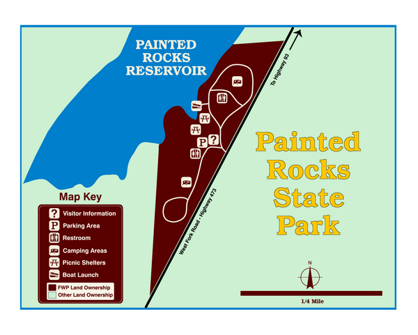
Painted Rocks State Park Map
near Painted Rocks State Park, MT, USA
View Location
Located in the scenic Bitterroot Mountains, this 23-acre park offers boating and water sport opportunities on the reservoir. The remote pine-forest setting is a great get-away for a weekend of camping, fishing and relaxation.
See more
 See more
Nearby Maps

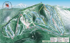
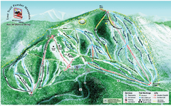
Lost Trail Powder Mountain Ski Trail Map
Official ski trail map of Lost Trail Powder Mountain ski area
16 miles away
Near Conner, Montana 59827

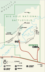
Big Hole National Battlefield Official Map
Official NPS map of Big Hole National Battlefield in Montana. Big Hole National Battlefield is...
30 miles away
Near Big Hole National Battlefield, montana

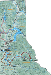
Northern Idaho Road Map
42 miles away
Near Idaho

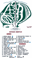
Maverick Mountain Ski Area Ski Trail Map
Trail map from Maverick Mountain Ski Area.
57 miles away
Near Maverick Mountain, Jackson, MT

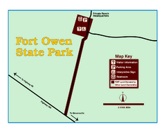
Fort Owen State Park Map
Fort Owen’s adobe and log remains preserves the site of the first permanent white settlement...
58 miles away
Near Fort Owen, MT, USA

 click for
 Fullsize

0 Comments
New comments have been temporarily disabled.