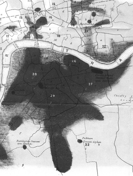
Mr. Grainger's "Cholera Map of the Metropolis" - 1849 Map
near London
View Location
There were four districts south of the River Thames that might have interested Snow-#25, St. Saviour, Southwark; #26, St. Olave, Southwark; #27, Bermondsey; #28, St. George, Southwark; and #29, Newington. The dotted lines indicated where cross-sections were taken for showing elevation above the high-water mark on the River Thames. Places with "bad ventilation," "no drainage," "open sewer," and "overcrowding" were also marked on the map (GBH, Report on Cholera, 1848-49, appendix B, opposite 200).
See more
 See more
Nearby Maps

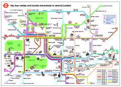
Central London Tourist and Bus map
Current Map showing all London Attractions and Bus transportation Route.
0 miles away
Near London, England

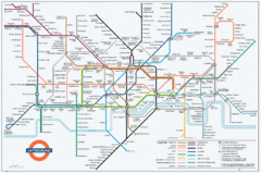
Untergrund Map
Comedic London Underground Tube map showing what it would look like if England had lost the war.
0 miles away
Near London, England

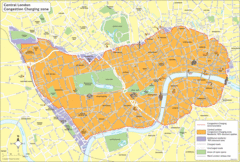
London Congestion Zone Map
0 miles away
Near London

 click for
 Fullsize


0 Comments
New comments have been temporarily disabled.