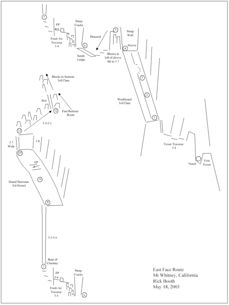
Mount Whitney Route Map
near Mount Whitney
See more
 See more
Nearby Maps

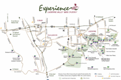
Livermore Valley Wine Map
Map showing the wineries in the Livermore Valley of California.
3 miles away
Near Livermore, California

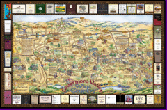
Livermore Winery Tour Map
Livermore Valley Wine Map & Visitors Guide - A great source for information about the Livermore...
4 miles away
Near Livermore, Ca

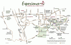
Livermore Valley Wineries, California Map
Map of wineries in Livermore Valley, California. Shows wineries, olive groves, and preserved land.
8 miles away
Near Livermore, CA

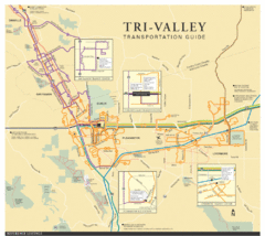
Tri Valley Transportation and Road Map
The Tri Valley cities roads and routes.
9 miles away
Near Pleasanton, California

Pleasanton Ridge Regional Park Map
13 miles away
Near Pleasanton Ridge

Sunol Regional Wilderness Trail Map - East
Trail map of eastern portion of Sunol Regional Wilderness in Sunol, California.
15 miles away
Near 1895 Geary Road, Sunol, CA

 click for
 Fullsize


0 Comments
New comments have been temporarily disabled.