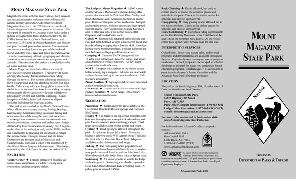
Mount Magazine State Park Map
near Paris, AR
See more
 See more
Nearby Maps

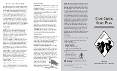
Cane Creek State Park Map
Cane Creek State Park Detail Map showing amenities, camp sites, and lake.
21 miles away
Near cane creek, ar

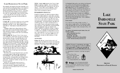
Lake Dardanelle State Park Map
Map of Lake Dardanelle State Park showing park sites, trails and amenities.
25 miles away
Near Russellville, AR

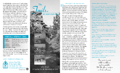
Mount Nebo State Park Trail Map
Trail Map of Mount Nebo State Park showing hiking trails and park amenities.
25 miles away
Near Dardanelle, AR

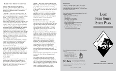
Lake Fort Smith State Park Map
Map of Lake Fort Smith State Park showing visitor center and park amenities.
46 miles away
Near Mountainburg, AR

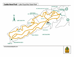
Lake Ouachita State Park Trail Map
Map of Caddo Bend Trail in Lake Ouachita State Park.
47 miles away
Near Mountain Pine, AR

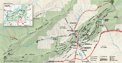
Hot Springs National Park map
Official NPS map of Hot Springs National Park in Hot Springs, Arkansas.
55 miles away
Near Hot Springs National Park, AR

 click for
 Fullsize

0 Comments
New comments have been temporarily disabled.