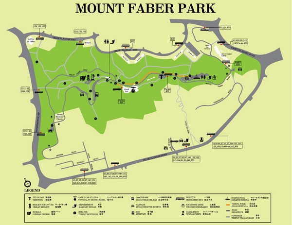
Mount Faber Park Map
near Mount Faber, Singapore
See more
 See more
Nearby Maps

Bus Line Map
2 miles away
Near Singapore

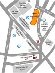
IP Academy Location Map
2 miles away
Near 7 Maxwell Road, Singapore

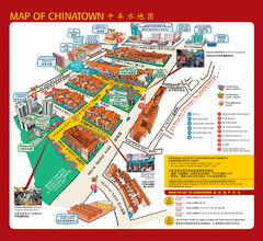
Singapore Chinatown Map
Map of the marktes, restaurants and hotels in Singapore's Chinatown.
2 miles away
Near Chinatown, Singapore

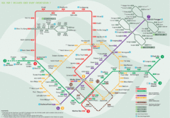
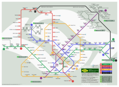
Singapore Rail Map
The easiest way to travel around Singapore, even from the airport!
3 miles away
Near Dhoby Ghaut, Singapore

Singapore Botanic Gardens Map
Map of the Singapore Botanical Gardens. Shows the contents of the garden with locations of parking...
3 miles away
Near Singapore

Suntec City map
3 miles away
Near Suntec City, SG

 click for
 Fullsize


0 Comments
New comments have been temporarily disabled.