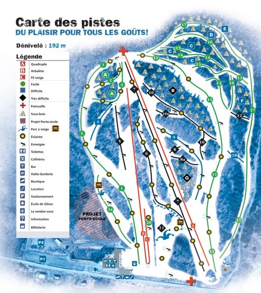
Montjoye Ski Trail Map
near Quebec, Canada
View Location
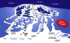
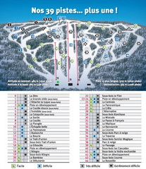
Trail map from Montjoye, which provides downhill skiing. This ski area has its own website.
See more
 See more
Nearby Maps

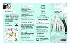
Mont-Bellevue and Nordic Ski Trail Map
Trail map from Mont-Bellevue.
6 miles away
Near Sherbrooke, Quebec, Canada

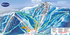
Mont Orford Ski Trail Map
Trail map from Mont Orford, which provides downhill and nordic skiing. This ski area has its own...
14 miles away
Near Magog, Quebec, Canada

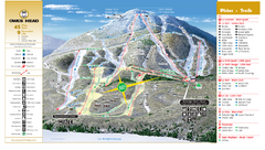
Owl’s Head Ski Trail Map
Trail map from Owl’s Head, which provides downhill skiing. This ski area has its own website.
24 miles away
Near Quebec, Canada

Mont Glen Ski Trail Map
Trail map from Mont Glen, which provides downhill skiing. This ski area has its own website.
24 miles away
Near Quebec, Canada

Ski Mont Shefford Ski Trail Map
Trail map from Ski Mont Shefford, which provides downhill skiing. This ski area has its own website.
33 miles away
Near Bromont, Quebec, Canada

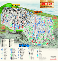
Mont Sutton Ski Trail Map
Trail map from Mont Sutton, which provides downhill skiing. This ski area has its own website.
34 miles away
Near Quebec, Canada

 click for
 Fullsize

0 Comments
New comments have been temporarily disabled.