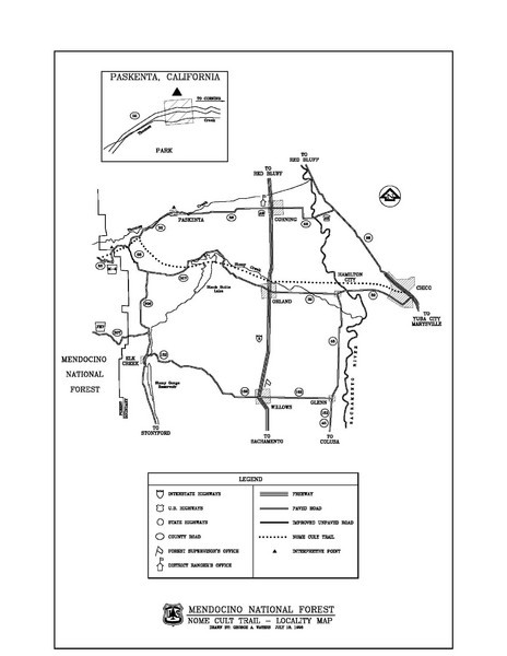
Mendocino National Forest map
near Mendocino National Forest, CA
See more
 See more
Nearby Maps

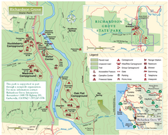
Richardson Grove State Park Map
Park map of Richardson Grove State Park, California. Shows trails, campgrounds, and other...
36 miles away
Near Richardson Grove State Park, California

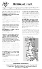
Richardson Grove State Park Campground Map
Map of campground region of park with detail of trails and recreation zones
46 miles away
Near 1600 US Highway 101, Garberville, CA

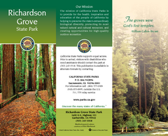
Richardson Grove State Park Map
Map of park with detail of trails and recreation zones
46 miles away
Near 1600 US Highway 101, Garberville, CA

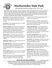
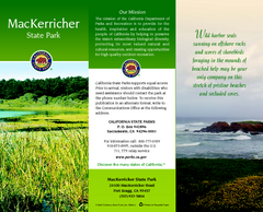
MacKerricher State Park Campground Map
Map of campground region of park with detail of trails and recreation zones
47 miles away
Near 24100 Mackerricher Rd, Fort Bragg, CA

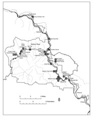
MacKerricher State Park Map
Map of park with detail of trails and recreation zones
47 miles away
Near 24100 Mackerricher Rd, Fort Bragg, CA

Humboldt Redwoods State Park Map
Park map of Humboldt Redwoods State Park, California. Shows Avenue of the Giants, trailheads and...
49 miles away
Near Humboldt Redwoods State Park, California

 click for
 Fullsize


0 Comments
New comments have been temporarily disabled.