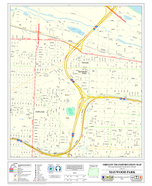
Maywood Park Oregon Road Map
near Maywood Park Oregon
See more
 See more
Nearby Maps

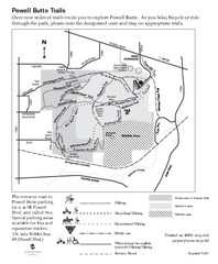
Powell Butte Nature Park Trail Map
Trail map of Powell Butte Nature Park. Shows over 9 miles of trails
5 miles away
Near 16160 SE Powell Blvd, Portland, Oregon

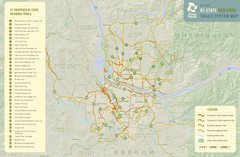
Bi-State Regional Trail System Plan Map
Shows plan for developing 37 Bi-State Regional Trails
6 miles away
Near Portland, Oregon

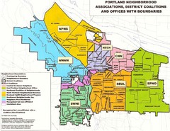
Portland Neighborhood Map
Shows neighborhood associations of Portland, Oregon.
6 miles away
Near Portland, Oregon

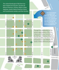
Old Town-China Town Map
Portland's oldest neighborhoods and history are easily seen in Old Town-China Town.
6 miles away
Near Old Town-Portland, OR, USA

Portland Oregon downtown walk Map
Walk from the Amtrak Station to the Oregon Museum of Science and Industry. 4 miles round trip...
6 miles away
Near Portland, Oregon

 click for
 Fullsize


0 Comments
New comments have been temporarily disabled.