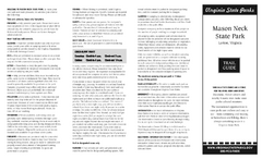
Mason Neck State Park Map
near 7301 High Point Rd, Lorton, VA 22079
View Location
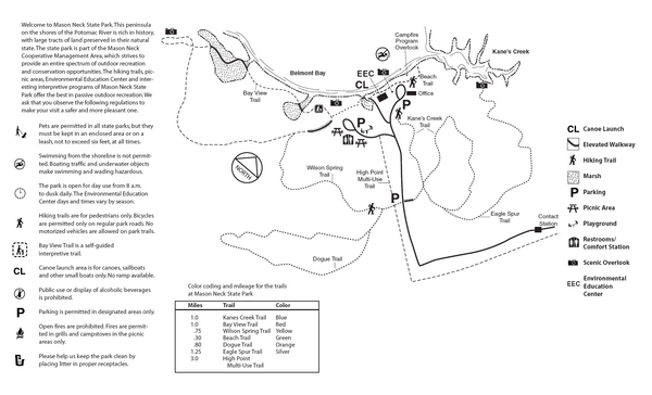
Trail map of Mason Neck State Park near Lornton, Virginia. Shows approx. 3 miles of hiking trails in 1,813 acres of park. the park is bordered by the Mason Neck National Wildlife Refuge. Pohick Bay Regional Park and the Gunston Hall Historical Facility. Combined, these areas provide over 5,600 acres dedicated to recreation and wildlife management.
See more
 See more
Nearby Maps

Mason Neck State Park Map
Descriptive map detailing trails, rest stops, and more.
less than 1 mile away
Near Mason Neck State Park, Virginia

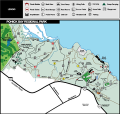
Pohick Bay Regional Park Map
Park map of Pohick Bay Regional Park near Lorton, VA on the Potomac River. Shows trails and...
2 miles away
Near 6501 Pohick Bay Drive, Lorton, VA 22079

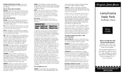
Leesylvania State Park Map
Clear map of this small state park.
6 miles away
Near Leesylvania State Park, Virginia

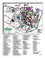
George Mason University Map
14 miles away
Near george mason university

 click for
 Fullsize



0 Comments
New comments have been temporarily disabled.