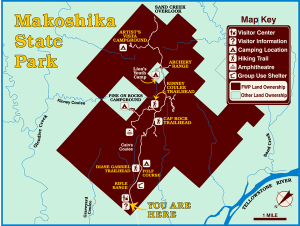
Makoshika State Park Map
near Makoshika State Park, MT, USA
View Location
To the Sioux Indians, Ma-ko-shi-ka meant bad earth or bad land. Today, as Montana’s largest state park, the pine and juniper studded badland formations house the fossil remains of such dinosaurs as tyrannosaurus rex and triceratops. You’ll find a visitor center at the park entrance with exhibits explaining the site’s geologic, fossil, and prehistoric stories. Roads and hiking trails let you explore the park’s whimsical badlands landscape. Or try out the campground and the park’s folf (frisbee golf) course.
Nearby Maps
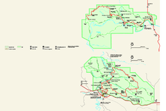
Theodore Roosevelt National Park Official Park Map
Official NPS map of Theodore Roosevelt National Park in North Dakota. Map shows both North and...
59 miles away
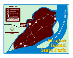
Pirogue Island State Park Map
Visitors find this isolated and undeveloped cottonwood-covered Yellowstone River island an...
69 miles away
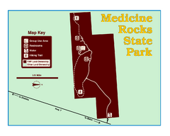
Medicine Rocks State Park Map
As the name implies, Medicine Rocks was a place of "big medicine" where Indian hunting...
71 miles away
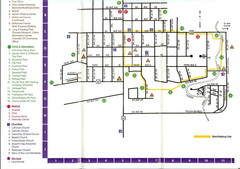
Watford City Map
Map of Watford City, McKenzie County, North Dakota. Includes streets, important buildings, parks...
83 miles away
Hell Creek State Park Map
You’ll reach this campground park, 25 miles north of Jordan, through the spectacular scenery...
110 miles away

 click for
 Fullsize

0 Comments
New comments have been temporarily disabled.