Edit this map

Jamaica County Map

near Jamaica

View LocationView Map

18.1771687935447 -77.3162841796875 8 satellite
Nearest Map »  Fullsize
7352 × 3745769 KBJPG

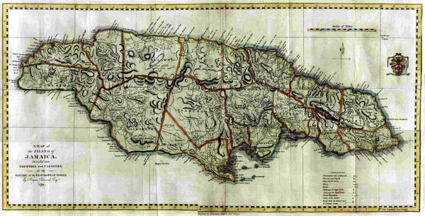
Island map of Jamaica showing counties and parishes "Shows plantations, settlements, churches, chapels, forts, barracks, rivers, roads, and anchorage for large and small vessels."

Created 1794 by John Stockdale
From prestwidge.com

landlubber added
Dec 13, 2008

Rating
no ratings

See an error? Report it.

Keywords

history, island, county, parish

0 Comments

New comments have been temporarily disabled.
See more

Nearby Maps

Jamaica 1910 Map

Jamaica 1910 Map

less than 1 mile away
Keywords: history
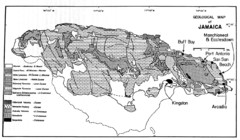
Jamaican geology Map

Jamaican geology Map

2 miles away

Keywords: reference
Jamaica Hurricane Dean Map 2007

Jamaica Hurricane Dean Map 2007

Shows affected parishes

3 miles away

Near Jamaica
Antique map of Jamaica from 1901

Antique map of Jamaica from 1901

"Map of the Island of Jamaica" from Cram's Modern Atlas the New Unrivaled. Published...

5 miles away

rated 4 by 1 person
Near jamaica
Keywords: history, antique, island
Map of Jamaica

Map of Jamaica

Map of Jamaica, in the Carribbean.

5 miles away

rated 3.5 by 2 people
Near jamaica
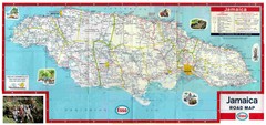
Jamaica Road Map

Jamaica Road Map

Jamaica road map

5 miles away

rated 2 by 1 person
Near Jamaica
See more