Edit this map

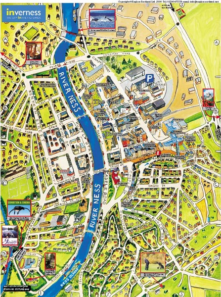
Inverness City Map

near Inverness, Scotland

View LocationView Map

57.4781423332396 -4.22668933868408 15 satellite
Nearest Map »  Fullsize
800 × 1074275 KBJPG

Pictorial map of Inverness

Created 2006 by Explore Scotland
From explore-inverness.com

Marjorie added
Feb 1, 2009

Rating
rated 3 by 1 person

See an error? Report it.

Keywords

tourism, pictorial, city

0 Comments

New comments have been temporarily disabled.
See more

Nearby Maps

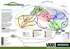
Cairn Gorm Ski Trail Map

Cairn Gorm Ski Trail Map

Trail map from Cairn Gorm.

29 miles away

Near Highland PH21 1, UK
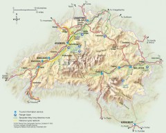
Cairngorms National Park Map

Cairngorms National Park Map

Official map of Cairngorms National Park, Britain's largest National Park at 3800 sq km. 4 of...

33 miles away

rated 3 by 1 person
Near Cairngorms National Park, UK
Cairngorms National Park Map

Cairngorms National Park Map

This map shows the boundaries of the Cairngorms National Park, which stretch from Grantown on Spey...

33 miles away

Near Cairngorms National Park, UK
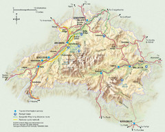
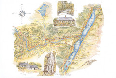
Invergarry Tourist Map

Invergarry Tourist Map

Tourist map of Invergarry, Scotland

36 miles away

rated 3.5 by 2 people
Near Invergarry, Scotland
Keywords: tourism, loch, scotland
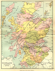
Scotland Counties Map

Scotland Counties Map

Map of Scotland and its counties

40 miles away

Near Scotland
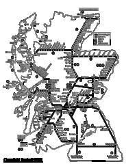
Scotland Rail Map

Scotland Rail Map

Guide to rail and ferries in Scotland

45 miles away

Near Scotland
See more