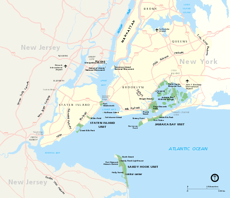
Gateway National Recreation Area Map
near Gateway National Recreation Area
View Location
Park map of lands in the NPS Gateway National Recreation Area in New York and New Jersey. Shows Staten Island Unit, Sandy Hook Unit, and Jamaica Bay Unit.
See more
 See more
Nearby Maps

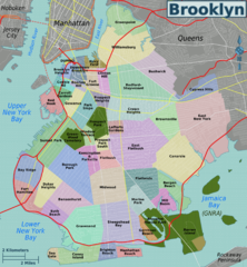
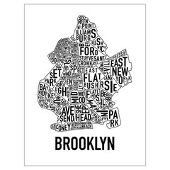
Brooklyn, Neighborhoods Map
4 miles away
Near brooklyn

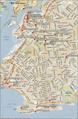
Brooklyn Attractions map
Map of attractions and points of interest in Brooklyn, New York.
4 miles away
Near brooklyn, new york

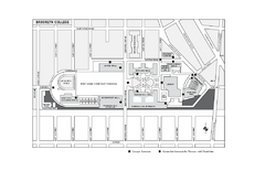
Brooklyn College Campus Map
Brooklyn College Campus Map. All buildings shown.
4 miles away
Near 2900 Bedford Avenue, Brooklyn, NY 11210

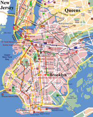
Brooklyn, Attractions Map
5 miles away
Near brooklyn

 click for
 Fullsize


0 Comments
New comments have been temporarily disabled.