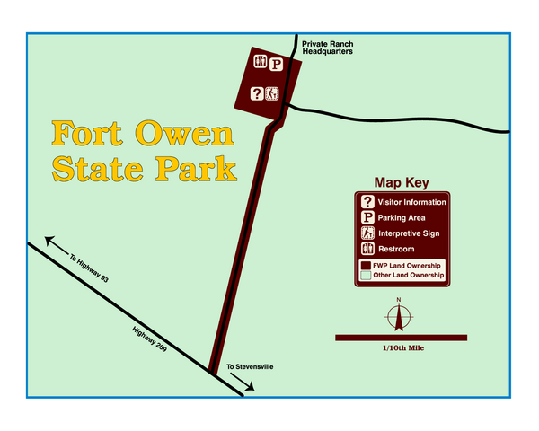
Fort Owen State Park Map
near Fort Owen, MT, USA
View Location
Fort Owen’s adobe and log remains preserves the site of the first permanent white settlement in Montana. Major John Owen established the fort as a regional trade center in 1850 and period furnishings and artifacts are displayed in the restored rooms of the east barracks. In 30 minutes you can browse through a small museum housed in preserved and partially reconstructed structures.
See more
 See more
Nearby Maps

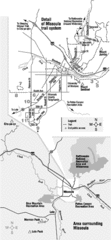
Missoula Trail System Map
Basic Map of Hike/Bike/Run Trail system for Missoula MT
25 miles away
Near Missoula, MT

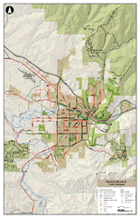
Missoula Bike Trails Map
Road and Mt. Bike trails with a bit of topology near Missoua
25 miles away
Near Missoula, MT

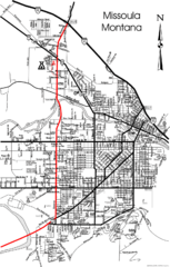
Missoula, Montana City Map
25 miles away
Near Missoula, MOntana

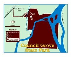
Council Grove State Park Map
Clearly marked map.
27 miles away
Near Council Grove State Park, MT, USA

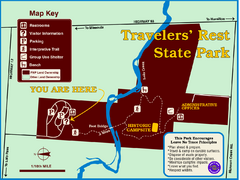
Travelers' Rest State Park Map
The Lewis and Clark expedition camped here twice during their historic journey to locate the...
29 miles away
Near Highway 12, MT, USA

 click for
 Fullsize

0 Comments
New comments have been temporarily disabled.