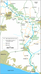
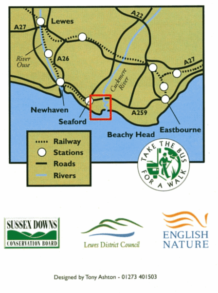
East Sussex, England Bus System Route Map
near East Sussex, England
See more
 See more
Nearby Maps

East Sussex, England City Map
0 miles away
Near East Sussex, England

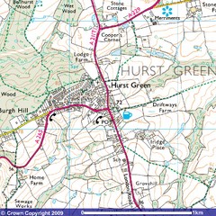
Hurst Green, England City Map
10 miles away
Near Hurst Green, England

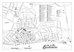
Eastbourne England Tourist Map
Central Eastbourne, England street level tourist map showing tourist sites, parks and city...
11 miles away
Near eastbourne

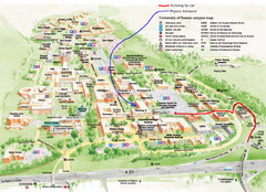
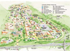
University of Sussex Campus Map
16 miles away
Near Falmer, East Sussex

University of Sussex Campus Map
Official campus map of University of Sussex. Shows campus buildings and points of interest.
16 miles away
Near Falmer, England

 click for
 Fullsize

0 Comments
New comments have been temporarily disabled.