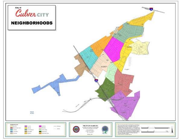
Culver City Neighborhood Map
near Culver City, California
See more
 See more
Nearby Maps

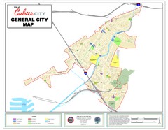
Culver City Map
General city map of Culver City, California. Shows the city boundary, schools, parks and other...
0 miles away
Near Culver City, California

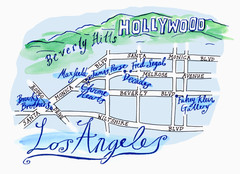
Los Angeles - hand drawn map
illustrated hand-drawn map produced for British airways - First Life magazine.
3 miles away
Near los angeles

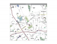
Westside Los Angeles, California Map
Tourist map of the Westside area of Los Angeles, California. Museums, parks, the UCLA campus, and...
4 miles away
Near century city, ca

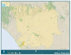
Ballona Wetlands Map
The Ballona Creek watershed, approximately 130 square miles, is the largest watershed draining into...
4 miles away
Near Ballona, California

North Beach Cities, Los Angeles, California Map
Tourist map of the North Beach cities near Los Angeles, California. Beaches, shopping, and a...
4 miles away
Near santa monica, ca

Los Angeles International Airport Terminal Map
Official Map of LAX International Airport in Los Angeles. Shows all areas.
4 miles away
Near 1 world way, los angeles, ca 90045

 click for
 Fullsize


0 Comments
New comments have been temporarily disabled.