Coral Pink Sand Dunes State Park Map
near Coral Pink Sand Dunes State Park, UT, USA
View Location
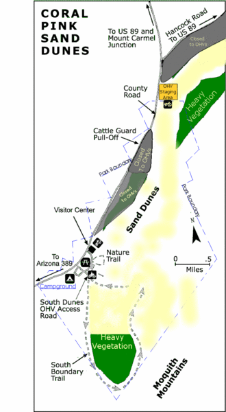
Rippling arcs of rust-colored sand welcome you as you enter Coral Pink Sand Dunes State Park. Contrasted by blue skies, juniper and pinion pines, and steep red cliffs, the park is a wonderful place for camping, photography, off-highway vehicle riding, and playing in the sand. As the only major sand dune field on the Colorado Plateau, this park is a unique geologic feature that should not be missed.
See more
 See more
Nearby Maps

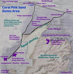
Coral Pink Sand Dunes Map
3 miles away
Near Coral Pink Sand Dunes

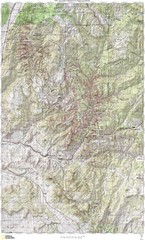
Zion National Park Topography Map
18 miles away
Near Zion National Park

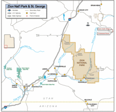
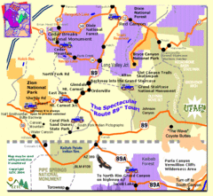
Zion National Park Highway Map
Highways, roads, cities and points of interest are marked on this clear map.
18 miles away
Near zion national park

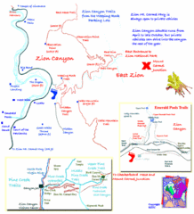
Zion National Park Trails Map
21 miles away
Near Zion National Park

Zion National Park Tourist Map
22 miles away
Near Zion National Park

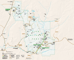
Zion National Park Official map
Official park map of Zion National Park. Shows trails, roads, and all park facilities.
24 miles away
Near Zion National Park

 click for
 Fullsize

0 Comments
New comments have been temporarily disabled.