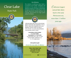
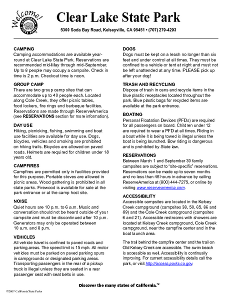
Clear Lake State Park Campground Map
near 5300 Soda Bay Rd, Kelseyville, CA
See more
 See more
Nearby Maps

Clear Lake State Park Map
Map of park with detail of trails and recreation zones
less than 1 mile away
Near 5300 Soda Bay Rd, Kelseyville, CA

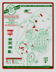
Jellystone Park at Glebrook Resort & Spa Map
11 miles away
Near 14117 Bottle Rock Rd. Cobb Ca.

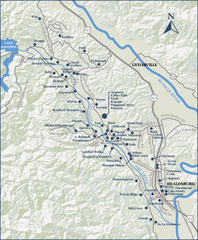
Dry Creek Valley Wineries, California Map
Map of wineries in Dry Creek Valley, California. Shows wineries and roads.
22 miles away
Near geyserville, ca

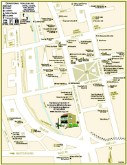
Downtown Healdsburg, California Map
Tourist maps of downtown Healdsburg, California. First map shows restaurants, galleries, wine...
27 miles away
Near healdsburg, ca

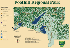
Foothill Regional Park Map
Park map of Foothill Regional Park in Sonoma County, California. Shows trails and 3 lakes.
31 miles away
Near Foothill Regional Park, California

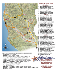
Mendocino Beer and Wine Tasting Map
Beer and wine tasting map of Mendocino county, California. Show breweries and wineries on the...
33 miles away
Near Mendocino County, California

 click for
 Fullsize

0 Comments
New comments have been temporarily disabled.