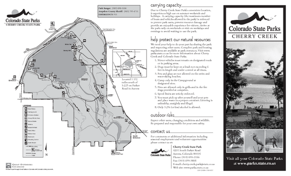
Cherry Creek State Park Map
near 4201 S Parker Rd, Aurora, CO
See more
 See more
Nearby Maps

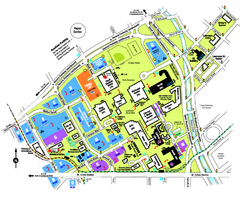
University of Colorado Denver Map
7 miles away
Near University of Colorado Denver

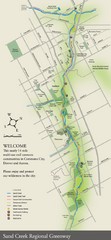
Sand Creek Regional Greenway Map
While the Sand Creek Regional Greenway trail is now usable, the Greenway will be under construction...
8 miles away
Near Denver City Park, Denver, CO, USA

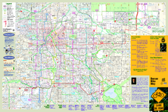
Denver Bike Map - Front
Shows all bike routes in the Denver metro area. This is the Front side of a 2-sided map.
9 miles away
Near Denver, CO

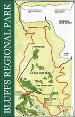
Bluffs Regional Park Map
9 miles away

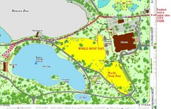
Denver City Park Map
10 miles away
Near Denver City Park

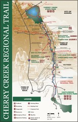
cherry creek regional trail Map
10 miles away

 click for
 Fullsize

0 Comments
New comments have been temporarily disabled.