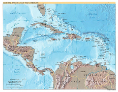
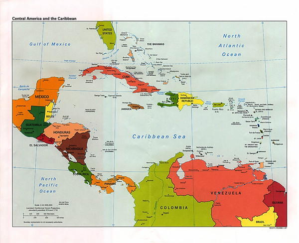
Central American and the Caribbean Political Map
near The Caribbean
See more
 See more
Nearby Maps

Central America and Caribbean Map
Map of Central America and Caribbean
139 miles away
Near Central America

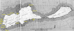
Islas del Cisne, Honduras Map
162 miles away
Near Islas del Cisne, Honduras

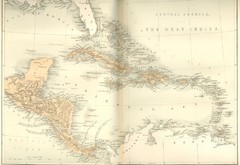
Central America and the West Indies Map
Historical Map of Central America and the West Indies Map
180 miles away
Near Honduras

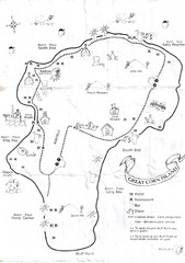
Big Corn Island Tourist Map
199 miles away
Near Big Corn Island, Nicaragua

Corn Island Topo Map
199 miles away
Near Corn Island

Nicaragua Transit system Map
239 miles away

 click for
 Fullsize

0 Comments
New comments have been temporarily disabled.