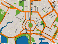
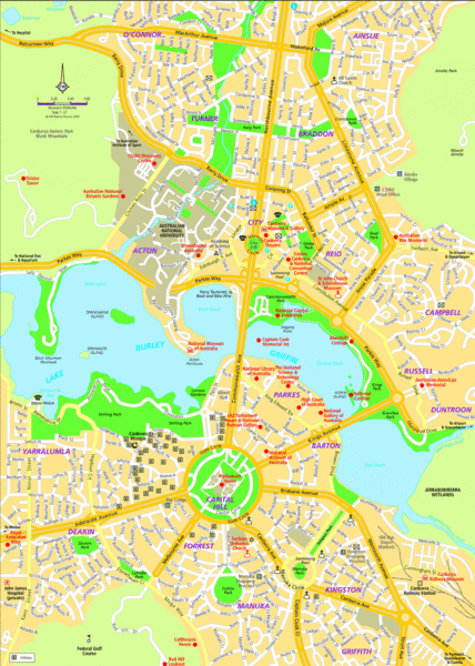
Canberra Street Map
near Canberra, Australia
See more

 See more
Nearby Maps

Canberra Hotels Map
less than 1 mile away
Near Canberra

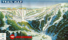
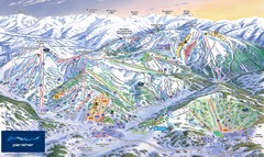
Selwyn Snowfields Ski Trail Map
Trail map from Selwyn snowfields.
46 miles away
Near Selwyn Snowfields, Kings Cross Rd, Mt Selwyn NSW...

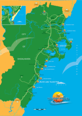
City of Shoalhaven Map
Tourist map for Burrill Lake Tourist Park in New South Wales, Australia.
74 miles away
Near Burrill Lake, NSW, Australia

Booderee National Park Trail Map
Trail map of walking trails in Booderee National Park, Australia
88 miles away
Near Booderee National Park

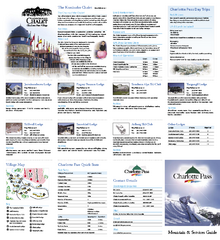
Charlotte Pass Ski Trail Map
Trail map from Charlotte Pass.
91 miles away
Near Charlotte Pass, New South Wales, Australia

 click for
 Fullsize

0 Comments
New comments have been temporarily disabled.