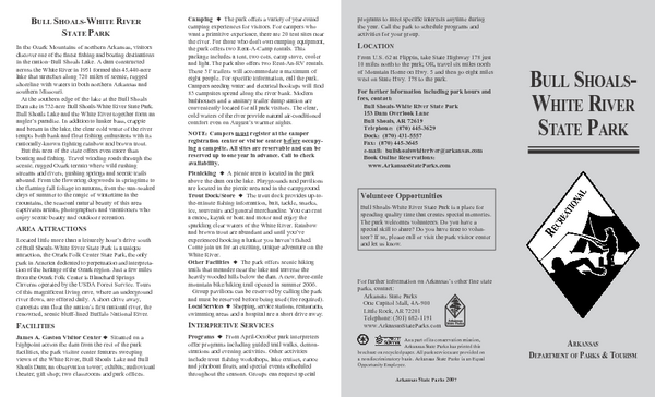
Bull Shoals White River State Park Detail Map
near bull shoals, arkansas
See more

 See more
Nearby Maps

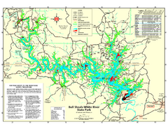
Bull Shoals-White River State Park map
Detailed recreation map for Bull Shoals-White River State Park in Arkansas
2 miles away
Near Bull Shoals, AR 72619

Bull Shoals White River State Park Map
Lake Map of Bull Shoals White River State Park
6 miles away
Near Bull Shoals, Arkansas

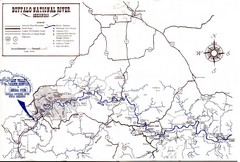
Buffalo National River Guide Map
33 miles away
Near Harrison, Arkansas

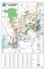
Branson Street Map
Street map of Branson, Missouri. With street index.
42 miles away
Near Branson, Missouri

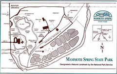
Mammoth Spring State Park Map
58 miles away
Near Mammoth Spring State Park

Camp Arrowhead Map
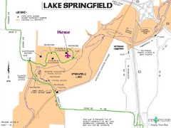
Boy Scouts of America Map at Lake Springfield
63 miles away
Near Lake Springfiled, Springfield, MO, US

 click for
 Fullsize

0 Comments
New comments have been temporarily disabled.