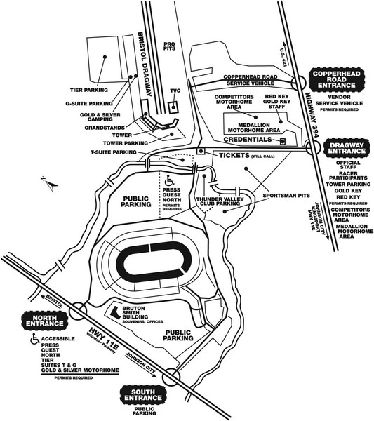
Bristol Dragway Map
near Bristol, TN, US
See more

 See more
Nearby Maps

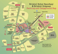
Bristol Motor Speedway Map
Guide to the campgrounds and parking at the Speedway
less than 1 mile away
Near Bristol, TN, US

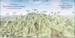
Panoramic Map of the Highlands of Roan (from NC)
Panoramic Map of the Roan Mountain Highlands as seen from North Carolina.
24 miles away
Near roan mountain, north carolina

Roan Mountain Panorama Map
Panoramic Map of the View from the Baud Family Cabin of Roan Mountain, TN. The view overlooks...
25 miles away
Near roan mountain, tn

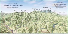
Panoramic Map of the Highlands of Roan (from TN)
Panoramic map of the Highlands of Roan as seen from Tennessee.
25 miles away
Near roan, tennessee

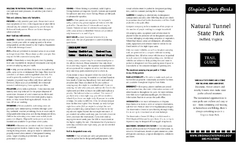
Natural Tunnel State Park Map
Detailed and informative state park map and legend.
31 miles away
Near Natural Tunnel state park, Virginia

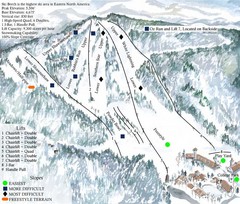
Beech Mountain Ski Resort Ski Trail Map
Trail map from Beech Mountain Ski Resort.
31 miles away
Near Banner Elk, North Carolina, United States

 click for
 Fullsize


0 Comments
New comments have been temporarily disabled.