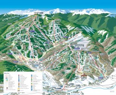
Beaver Creek Resort Ski Trail Map
near Avon, Colorado, United States
View Location
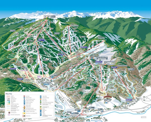
Trail map from Beaver Creek Resort, which provides downhill and terrain park skiing. It has 16 lifts servicing 148 runs; the longest run is 4425.6958583777'. This ski area opened in 1980, and has its own website.
See more
 See more
Nearby Maps

Beaver Creek Ski Trail Map
Official ski trail map of Beaver Creek ski area from the 2007-2008 season. Map also includes...
less than 1 mile away
Near Avon, CO

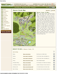
Beaver Creek Map
Beaver Creek Map, Beaver Creek Shopping Map, Beaver Creek Lodging Map, Activities, Restaurants...
1 mile away
Near bever creek co

Minturn Map
4 miles away
Near Minturn, CO

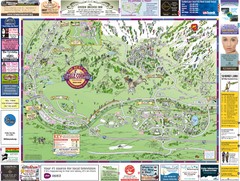
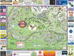
Eagle River Valley Resort Maps Map
Resort Maps of Eagle River Valley is the most popular and widely distributed map of Minturn, Red...
5 miles away
Near Avon, CO

Vail Ski Trail map 2006-07
Ski trail map of Vail ski area for the 2006-2007 season. Shows all 3 sides of Vail: 1) Back Bowls...
8 miles away
Near Vail, CO

Vail, Colorado carved by carvedmaps.com Map
8 miles away
Near vail, co

 click for
 Fullsize

0 Comments
New comments have been temporarily disabled.