Edit this map

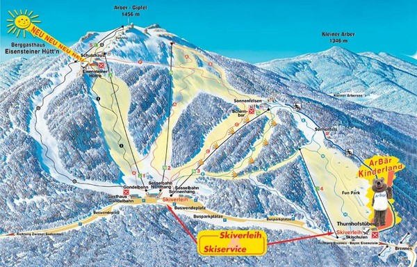
Arber Ski Trail Map

near Bayerisch Eisenstein, Bavaria, Germany

View LocationView Map

49.1181525794647 13.1303787231445 13 satellite
Nearest Map »  Fullsize
899 × 575197 KBJPG

Trail map from Arber.

Created 2008
From skimap.org

Skimap added
Aug 16, 2009

Rating
no ratings

See an error? Report it.

Keywords

recreation, skiing, ski area

0 Comments

New comments have been temporarily disabled.
.
See more

Nearby Maps

Roding Map

Roding Map

Street map of region

28 miles away

Near Roding, Germany
Neunburg vorm Wald District Map

Neunburg vorm Wald District Map

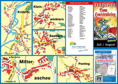
Tourist street map of districts of Neunburg

37 miles away

Near Neunburg vorm Wald, Germany
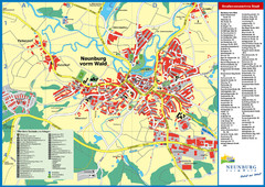
Neunburg vorm Wald Map

Neunburg vorm Wald Map

Tourist street map of Neunburg vorm Wald

37 miles away

Near Neunburg vorm Wald, Germany
Keywords: tourism, city
Passau Tourist Map

Passau Tourist Map

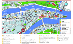
Tourist map of Passau, Germany. Shows points of interest. In English.

41 miles away

rated 3.5 by 2 people
Near Passau, Germany
Passau Map

Passau Map

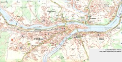
City map of Passau and surrounding area

41 miles away

Near Passau, Germany
Plzen City Map

Plzen City Map

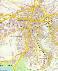
City map of Plzen, Czech Republic. Scanned.

45 miles away

rated 2.5 by 2 people
Near Plzen, Czech Republic
See more