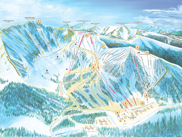
Arapahoe Basin Ski Trail Map 2007
near Arapahoe Basin, Colorado
See more
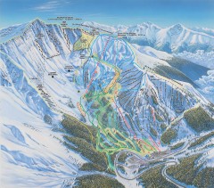
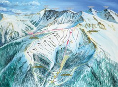
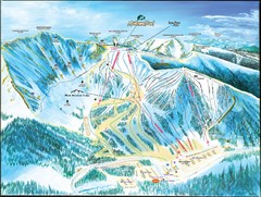
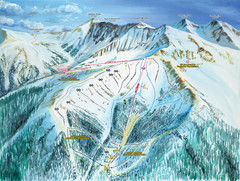
 See more
Nearby Maps

Arapahoe Basin Ski Trail map
Official ski trail map of Arapahoe Basin ski area from the 2006-2007 season. Look for 400 acre...
less than 1 mile away
Near 28194 Highway 6, Keystone, CO 80435

Arapahoe Basin Montezuma Bowl Ski Trail Map
Trail map from Arapahoe Basin, which provides terrain park skiing. It has 7 lifts servicing 105...
less than 1 mile away
Near Montezuma, Colorado, United States

Arapahoe Basin Frontside Ski Trail Map
Trail map from Arapahoe Basin, which provides terrain park skiing. It has 7 lifts servicing 105...
less than 1 mile away
Near Montezuma, Colorado, United States

Montezuma Bowl Trail Map
3 miles away
Near Montezuma Bowl, Arapahoe Basin, CO

Loveland South View Ski Trail Map
Trail map from Loveland, which provides downhill, nordic, and terrain park skiing. It has 10 lifts...
4 miles away
Near Colorado, United States

 click for
 Fullsize

0 Comments
New comments have been temporarily disabled.