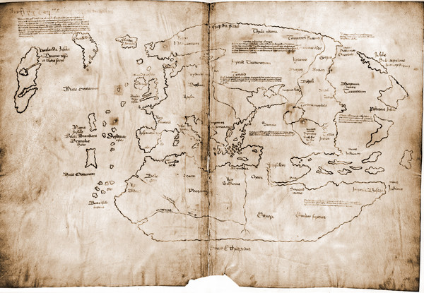
15th Century Vinland Map
near Barraco, Spain
View Location
Based on 13th century original, the controversial Vinland Map is possibly the first depiction of the North American coastline. Now housed at Yale University.
See more
 See more
Nearby Maps

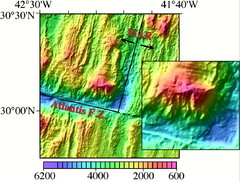
Atlantis Massif Map
The Atlantis Massif is west of the Mid-Atlantic Ridge and north of the Atlantis Fracture Zone. The...
400 miles away
Near Atlantis

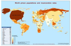
World Prison Population and Incarceration Rates...
Technically this is a "bi-variate cartogram". It is a combination of a cartogram (country...
514 miles away

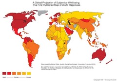
World Happiness Map
The first ever published map of world happiness...do with it what you will
514 miles away
Near the world

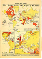
British Empire History Map
Guide to the rise and fall of the British Empire
514 miles away
Near World

 click for
 Fullsize



1 Comments
real or fake? the controversy continues http://www.scientificamerican.com/article.cfm?id=vinland-map-could-be-authentic