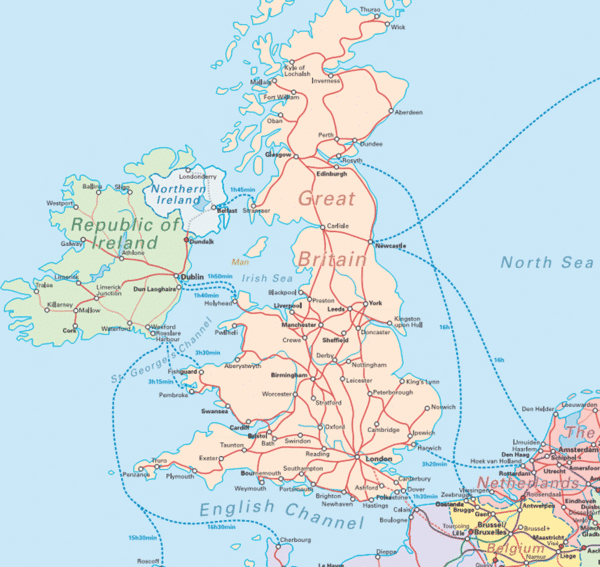
United Kingdom Transit Map
near United Kingdom
See more
 See more
Nearby Maps

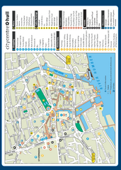
Hull City Centre Map
Tourist map of city of Hull. Shows points of interest including shopping, attractions, places...
3 miles away
Near Hull, UK

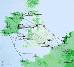
Ireland to Luxembourg Travel Map
Major routes from Ireland to Luxembourg. Shows major cities in Ireland, England, Germany and the...
25 miles away
Near Europe

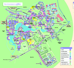
University of York Map - Heslington Campus
Campus map of the University of York Heslington Campus near York, England.
35 miles away
Near Heslington, York, UK

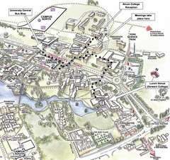
University of York Campus Map
Relevant landmarks and main roads and buildings
35 miles away
Near york, england

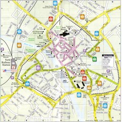
York England Tourist Map
Tourist map of York England showing roads, tourist sites ad railways.
36 miles away
Near York, England

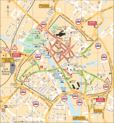
York Tourist Map
36 miles away
Near York

 click for
 Fullsize

0 Comments
New comments have been temporarily disabled.