
 Edit this map

US Carbon Footprint Map
near United States
View Location
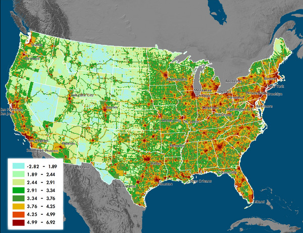
Shows the complete Vulcan Project CO2 emissions (all sectors - those presented in the first three figures above plus residential, commercial, and cement) after it has been gridded to the common 10 km x 10 km Vulcan grid. The units are log base 10 of million metric tonnes of carbon/gridcell/year.

 See more

Nearby Maps
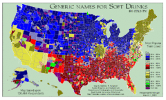
Pop vs Soda US Map
Shows most common names for soft drinks in the US by county. Based on 120,464 respondants.
0 miles away
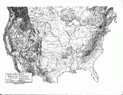
US Map - Landform Outline
Hand-drawn map of the US shows landforms (mountains and rivers) with amazing detail. Map created...
0 miles away
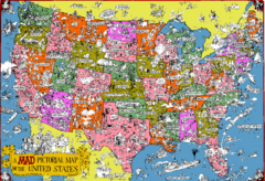
Mad Magazine USA Map
Detailed comedic drawings overlaid on a huge map of the US.
0 miles away
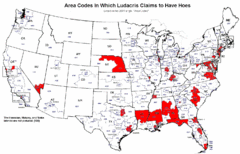
Ludacris' Hoes In Different Area Codes Map
Shows area codes in which rap star Ludacris claims to have hoes from his 2001 single "Area...
0 miles away
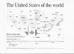
US GDP World Map
Labels each state in the US with the equivalent country in terms of GDP. Scanned.
0 miles away

 See more


 Explore Maps
 Map Directory
 click for
 Fullsize


0 Comments
New comments have been temporarily disabled.