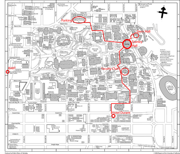
UC Berkely Campus Map
near University of California Berkeley, California
See more
 See more
Nearby Maps

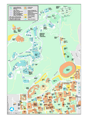
University of California, Berkeley Visitor Map
Colorful Map that illustrates the location of all buildings, parking areas, and streets in and...
less than 1 mile away
Near Berkeley, California, USA

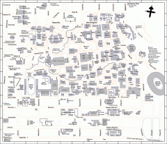
UC Berkeley Map
UC Berkeley campus map
less than 1 mile away
Near University Avenue and Oxford Street,

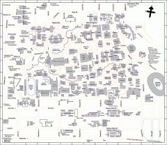
University of California at Berkeley Map
Campus map of the University of California at Berkeley. All buildings shown.
1 mile away
Near Berkeley, California

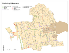
Bikeway Network of Berkeley, California Map
Map of current and proposed bike paths, lanes, and boulevards in Berkeley, California.
1 mile away
Near Berkeley, CA

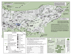
Tilden Regional Park Map - South
1 mile away
Near Tilden Regional Park

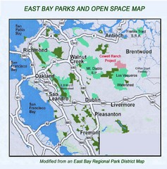
Eastbay Parks and Open Spaces Map
1 mile away
Near Richmond California

 click for
 Fullsize


0 Comments
New comments have been temporarily disabled.