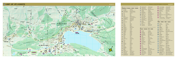
St. Moritz Tourist Map
near St. Moritz, Switzerland
See more
 See more
Nearby Maps

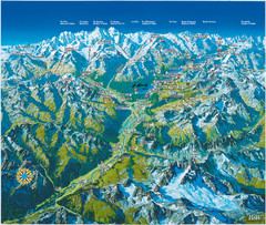
Engadin St. Moritz Region Summer Map
Summer panoramic tourist map of Engadin region of Switzerland. Includes St. Moritz, Piz Bernina...
1 mile away
Near St. Moritz, Switzerland

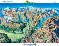
Valdidentro Alta Valtellina Summer Map
Panorama tourist map of the region of Valdidentro Alta Valtellina from Bormio, Italy to Livigno...
20 miles away
Near Valdidentro, Italy

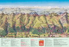
Davos Schatzalp Summer Trail Map
Trail map showing summer trails and lifts at Davos Schatzalp in Davos, Switzerland.
21 miles away
Near Davos, Switzerland

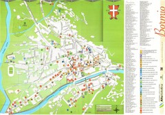
Bormio Tourist Map
Tourist map of town of Bormio, Italy. Legend of all streets and services.
26 miles away
Near Bormio, Italy

Davos-Klosters Ski Trail Map
Trail map from Davos-Klosters.
26 miles away
Near 7250 Klosters, Prättigau-Davos, Graubü...

Bormio Panorama Map
Panorama tourist map of Bormio, Italy. Shows Ortler Alps in distance. From photo.
27 miles away
Near Bormio, Italy

 click for
 Fullsize

0 Comments
New comments have been temporarily disabled.