Edit this map

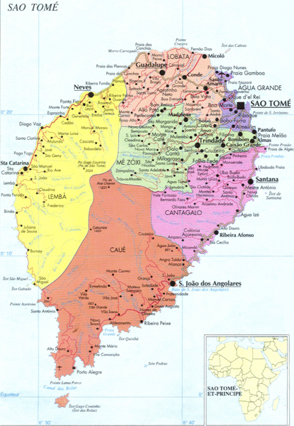
Sao Tome Political Map

near São Tomé and Príncipe

View LocationView Map

0.195006947727409 6.60964965820312 10 satellite
Nearest Map »  Fullsize
1145 × 1654934 KBGIF

Political map of island of São Tomé, lying on the equator off the west coast of Africa. Shows regions, roads, and towns. Inset map shows location in world.

From navetur-equatour.st

scott added
Apr 17, 2008

Rating
rated 4 by 2 people

See an error? Report it.

Keywords

reference, island, equator, africa

0 Comments

New comments have been temporarily disabled.
.
See more

Nearby Maps

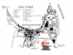
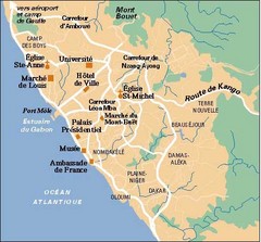
Sao Tome City Map

Sao Tome City Map

City map of Sao Tome with tourist information

12 miles away

rated 4 by 1 person
Near Sao Tome
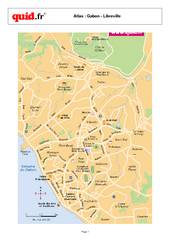
Libreville City Map

Libreville City Map

City map of capital

197 miles away

Near Libreville, Gabon
Keywords: reference, city, town
Libreville City Map

Libreville City Map

Simple map marking towns and roads.

197 miles away

Near Libreville, gabon
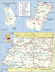
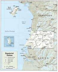
Equatorial Guinea Admin. Map

Equatorial Guinea Admin. Map

259 miles away
rated 3 by 1 person
Keywords: reference
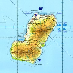
Bioko-Fernando Po island Map

Bioko-Fernando Po island Map

270 miles away
Keywords: reference
Equatorial Guinea Guide Map

Equatorial Guinea Guide Map

272 miles away

rated 3 by 1 person
Near Equatorial Guinea
Keywords: tourism
See more