
 Edit this map

Salt Point State Park Map
near 25050 Coast Highway One, Jenner, CA 95450
View Location
Topo park map of Salt Point State Park and Kruse Rhododendron State Reserve. Shows trails by use type and facilities.
Tweet
See an error? Report it.
Keywords
recreation, park, state park, reserve, coast, trails, hiking, mountain biking, horse riding, rhododendron
 See more

Nearby Maps
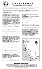
Salt Point State Park Campground Map
Map of campground region of park with detail of trails and recreation zones
1 mile away
Near 25050 Coast Highway One, Jenner, CA
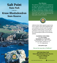
Salt Point State Park Map
Map of park with detail of trails and recreation zones
1 mile away
Near 25050 Coast Highway One, Jenner, CA
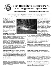
Fort Ross State Historic Park Campground Map
Map of park with detail of trails and recreation zones
7 miles away
Near Fort Ross State Historic Park, CA
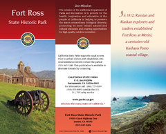
Fort Ross State Historic Park Map
Map of park with detail of trails and recreation zones
7 miles away
Near Fort Ross State Historic Park, CA
Fort Ross State Historic Park Map
Map of park with detail of trails and recreation zones
7 miles away
Near Fort Ross State Historic Park, CA
Armstrong Redwoods State Natural Reserve Map and...
Park map of Armstrong Redwoods State Natural Reserve and Austin Creek State Recreation Area in...
16 miles away
Near 17000 Armstrong Woods Road, Guerneville, CA 95446

 See more


 Explore Maps
 Map Directory
 click for
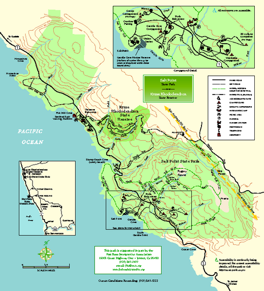
 Fullsize


0 Comments
New comments have been temporarily disabled.