
 Edit this map

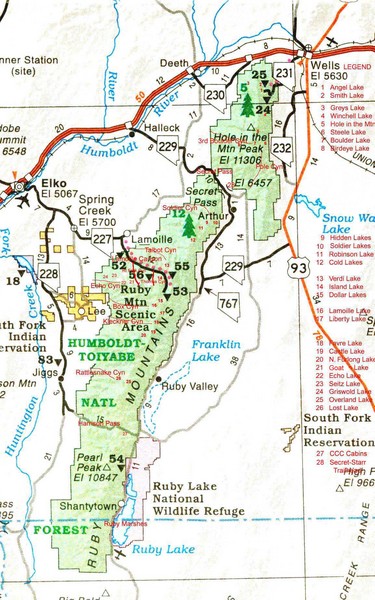
Ruby Mountains Area Map
near Elko
View Location
Included are the communities of Elko, Wells, Deeth, Jiggs, Lee, Lamoille and Spring Creek. Some geographic features shown are Ruby Valley, Secret Pass, Harrison Pass, the Ruby Marshes (Ruby Lake National Wildlife Refuge), and Lamoille Canyon. Relative positions are shown for all named lakes in the Ruby Mountains and East Humboldts as well as some other major canyons.

 See more

Nearby Maps
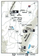
Skiing and Sledding in Elko County, Nevada Map
Map of skiing and sledding opportunities in Elko County, Nevada, showing skiing and sledding...
3 miles away
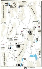
Camping in Elko County, Nevada Map
Map of camping opportunities in Elko County, Nevada, showing camp grounds, roads and towns.
18 miles away
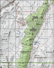
Ruby Mountains Wilderness Map
Overview map of Ruby Mountains Wilderness and Lamoille Canyon
20 miles away
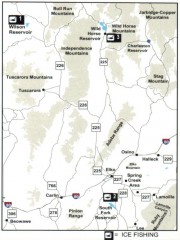
Icefishing Map, Elko County, Nevada
Map of ice fishing locations in Elko County, NV. Shows reservoirs, roads and towns.
25 miles away

Cross-country Skiing, Elko County, Nevada Map
Map of cross-country skiing opportunities in Elko County, Nevada. Shows skiing locations, roads...
26 miles away
Land Use Map of Elko County, Nevada
Land use map of Elko County, Nevada. Shows lands classified as public or private, and owners of...
26 miles away

 See more


 Explore Maps
 Map Directory
 click for
 Fullsize


0 Comments
New comments have been temporarily disabled.