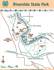
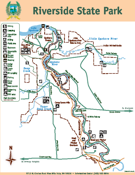
Riverside State Park Map
near 9711 W. Charles Rd, Nine Mile Falls, WA
See more
 See more
Nearby Maps

Riverside State Park Map
Map of park with detail of trails and recreation zones
less than 1 mile away
Near 9711 W. Charles Rd, Nine Mile Falls, WA

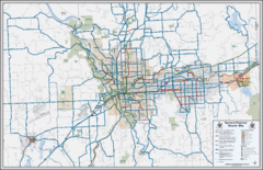
Spokane, Washington Bike Map
10 miles away
Near Spokane, WA state

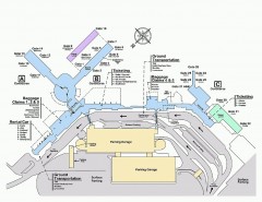
Spokane International Airport Terminal Map
Official Map of Spokane International Airport in Washington state. Shows all terminals.
11 miles away
Near Spokane International Airport

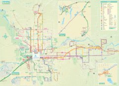
Spokane Guide Map
Roads and areas in and around Spokane, Washington
11 miles away
Near Spokane, Washington

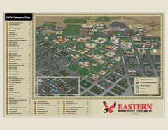
Eastern Washington University Campus Map
Campus map of Eastern Washington University in Cheney, Washington
20 miles away
Near Cheney, Washington

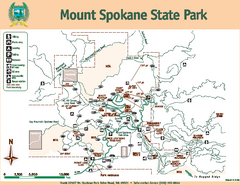
Mount Spokane State Park Map
Map of park with detail of trails and recreation zones
22 miles away
Near North 26107 Mount Spokane Park Drive, Mead, WA

 click for
 Fullsize

0 Comments
New comments have been temporarily disabled.