River Thames Map
near River Thames
See more
 See more
Nearby Maps

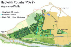
Hadleigh Country Park Map
3 walks, each color coded according to the estimated time it would take to complete each trek...
6 miles away
Near Hadleigh Country Park, Benfleet, UK

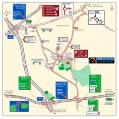
Brentwood, Essex Map
11 miles away
Near Brentwood, Essex

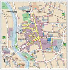
Disabled Accessible Places in Maidstone, Kent Map
A guide to places in Maidstone that are wheelchair accessible.
15 miles away
Near Maidstone, Kent

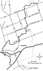
Thames Valley Trail Map
17 miles away
Near Saint Marys, UK

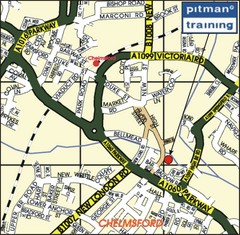
Chelmsford Map
17 miles away
Near Chelmsford

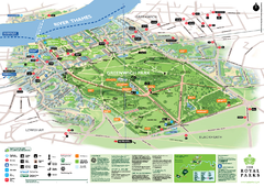
Greenwich Park Map
20 miles away
Near Greenwich Park, Greenwich, England

 click for
 Fullsize


0 Comments
New comments have been temporarily disabled.