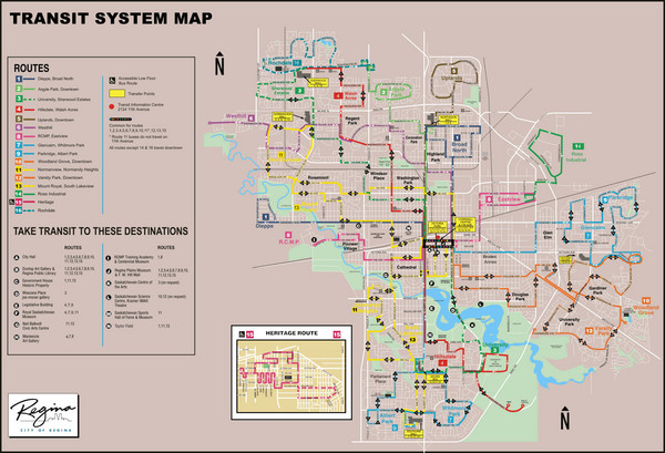
Regina Transit Map
near Regina, Saskatchewan
See more
 See more
Nearby Maps

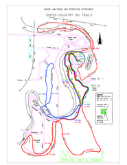
Moose Jaw Cross Country Ski Trail Map
Cross country ski trails around city of Moose Jaw, Saskatchewan, Canada. Shows green, red, and...
40 miles away
Near Moose Jaw, Saskatchewan

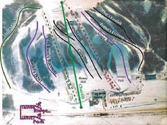
Mission Ridge Winter Park Ski Trail Map
Trail map from Mission Ridge Winter Park, which provides downhill skiing. This ski area has its own...
43 miles away
Near Saskatchewan, Canada

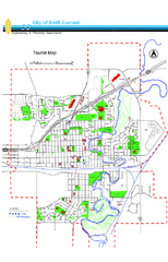
Swift Current Tourist Map
Tourist map of Swift Current, Saskatchewan. Shows all parks and walking paths.
140 miles away
Near Swift Current, Saskatchewan

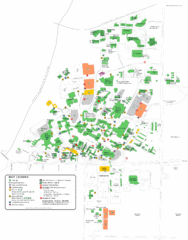
University of Saskatchewan Campus Map
Campus map of the University of Saskatoon in Saskatoon, Saskatchewan, Canada. Shows all buildings...
146 miles away
Near Saskatoon, Saskatchewan

 click for
 Fullsize


0 Comments
New comments have been temporarily disabled.